Moss Wall Walk
Awabakal Country

15 min to 30 min

620 m
return

↑ 17 m
↓ -17 m

Moderate track
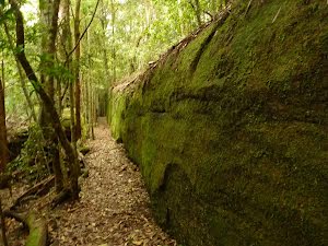
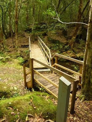
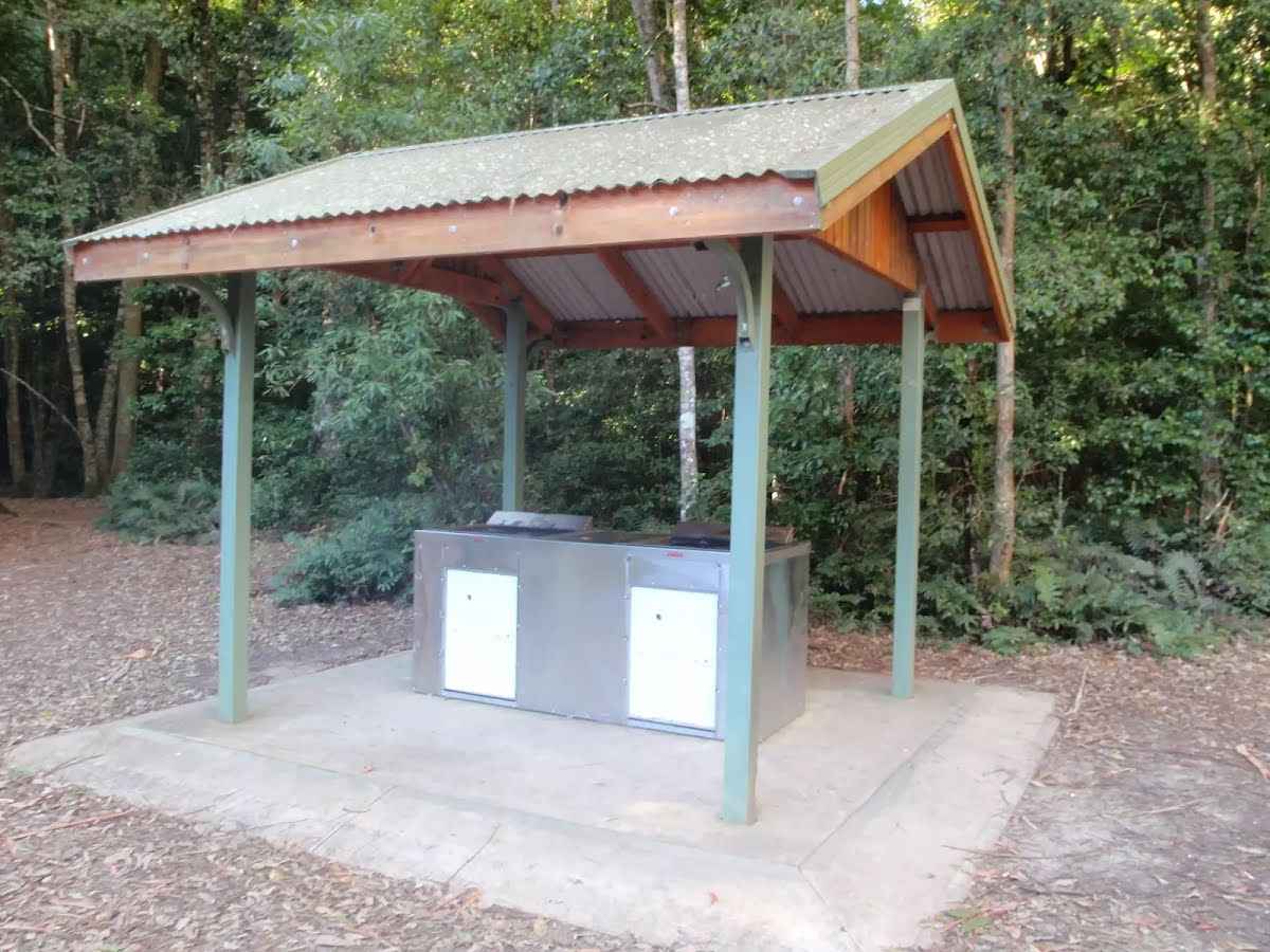
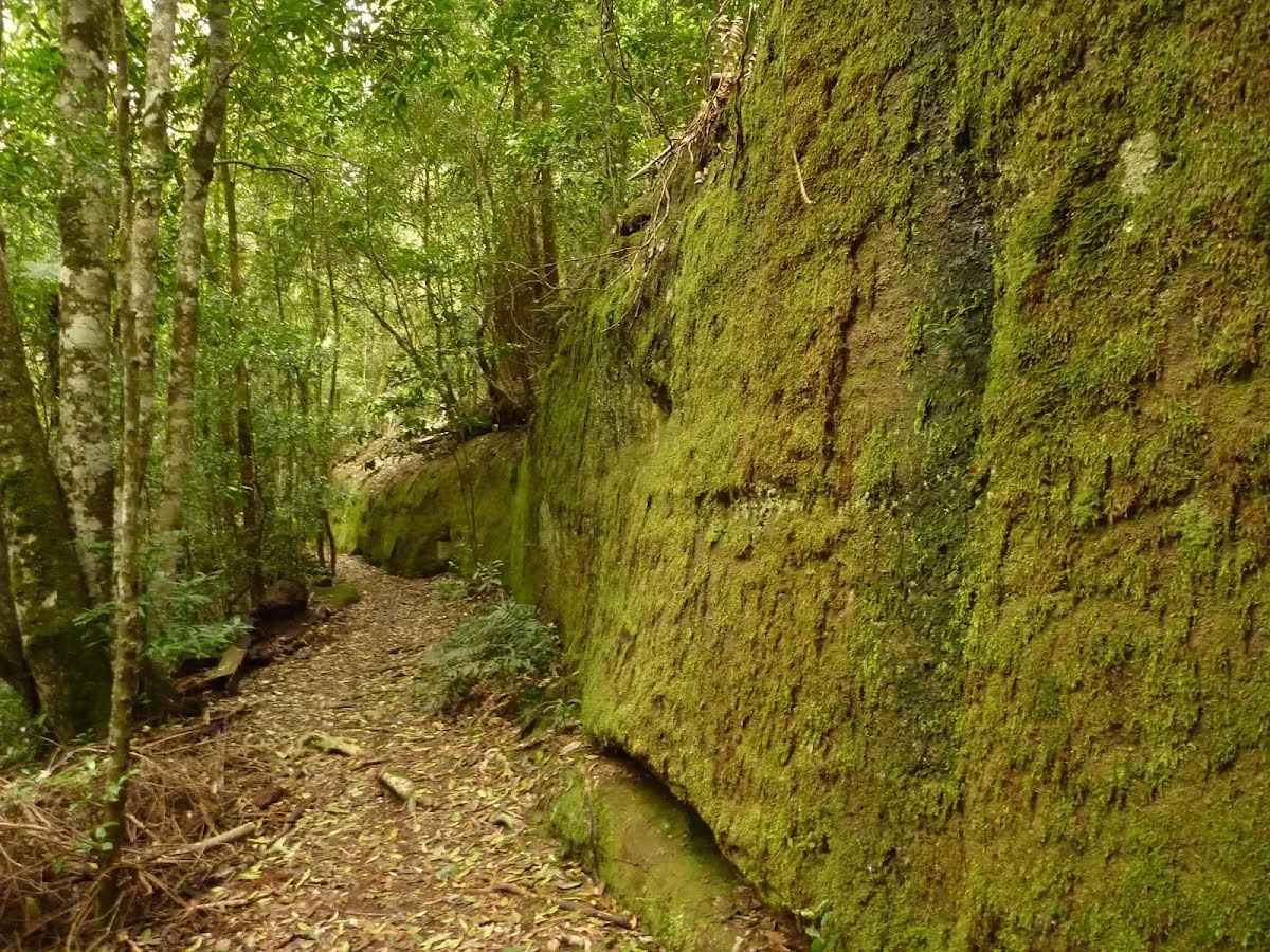
A gentle walk past the Boarding House Dam and through moist rainforest to a long straight moss covered wall. Spend some time exploring the creek and pools beside the moss wall before retracing your steps back to the Boarding House dam picnic area and car park. A cool sheltered spot to relax, particularly on a hot summer day. Let us begin by acknowledging the Awabakal people, Traditional Custodians of the land on which we travel today, and pay our respects to their Elders past and present. 
Show all
Boarding House Dam Picnic area near Watagan Forest Rd in the Watagans. | Photo by admin, 2010.
Large tree stump at Board House Dam near Watagans Forest Rd in the Watagans. | Photo by admin, 2010.
Track towards Boarding House Dam near Watagans Forest Rd in the Watagans. | Photo by admin, 2008.
Boarding House Dam near Watagans Forest Rd in the Watagans. | Photo by admin, 2008.
Looking at Boarding House Dam Picnic area near Watagans Forest road in the Watagans. | Photo by admin, 2010.
Creek and rock formations in Boarding House Creek in the Watagans. | Photo by admin, 2010.
Intersection with timber steps close to Boarding House Dam in the Watagans. | Photo by admin, 2010.
Track near Boarding House Dam near Watagan Forest Rd. | Photo by admin, 2010.
Track through forest in the Watagans. | Photo by admin, 2010.
Timber track marker near the Moss Wall in the Watagans. | Photo by admin, 2010.
Moss Wall near the Boarding House Dam in the Watagans. | Photo by admin, 2010.
Close up of moss on the moss wall near Boarding House Dam near Watagan Forest Road in the Watagans. | Photo by admin, 2010.
Moss Wall near the Boarding House Dam in the Watagans. | Photo by admin, 2010.
Moss Wall near Boarding House Dam in the Watagans. | Photo by admin, 2010.
Moss wall in forest near the Watagan Forest Road. | Photo by admin, 2010.
Pool of water near the Moss Wall in the Watagans. | Photo by admin, 2010.
Timber bridge crossing creek near the moss wall in the Watagans. | Photo by admin, 2010.
Map Notes Terrain Reviews Conditions More
Downloads GPX PDF

Some of the information and maps on this page was generated using data from the awesome © OpenStreetMap contributors.
Please see how you can embed some widgets, access data and other stuff to that might be helpful.